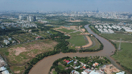
The strategic plan to promote remote sensing in HCMC is supposed to boost state management capability regarding remote sensing activities in accordance with the current laws.
Used correctly, this valuable technology can actively contribute to the socio-economic growth of the city and ensure national defense as well as social security in the whole city.
This plan will mostly focus on developing proper human resources, building suitable IT infrastructure for the convenient use of collected remote sensing data, creating a stable remote sensing database, carrying out scientific research of the field, and encouraging international cooperation.